The background of this area should be an image. Please use Change Background feature to change the background of this area.
(Can be found under DESIGN tab)
Hiking Las Vegas Blog
|
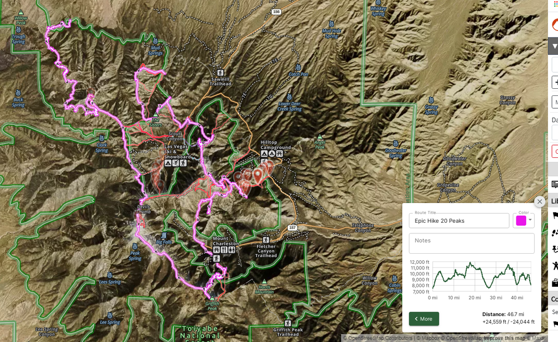
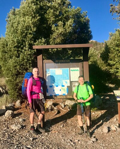
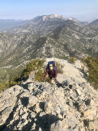
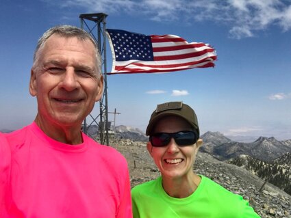
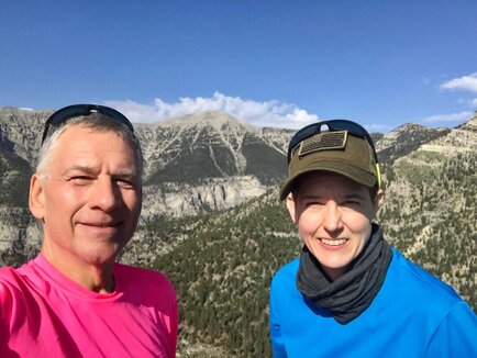
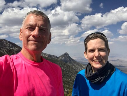
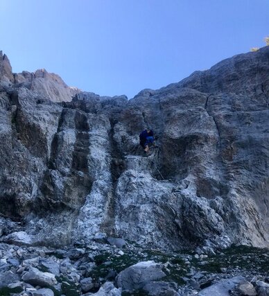
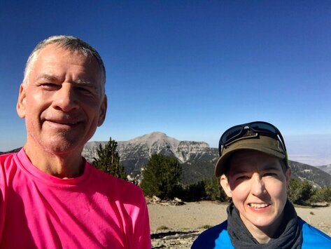
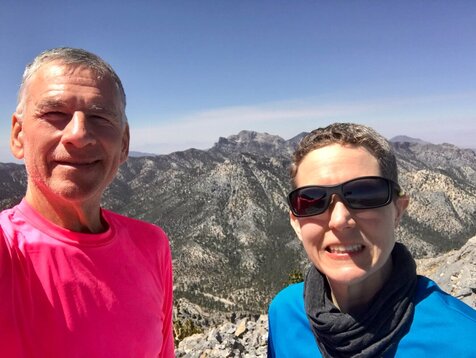
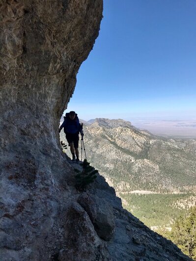
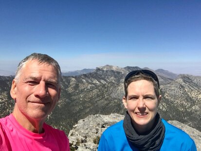
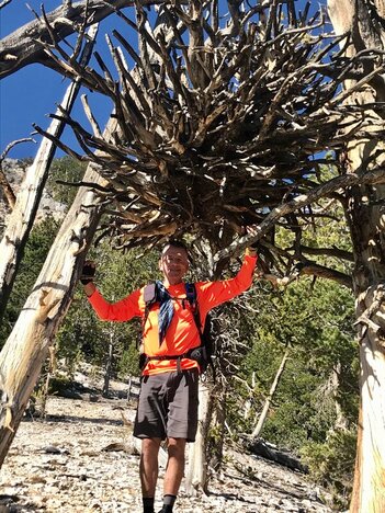
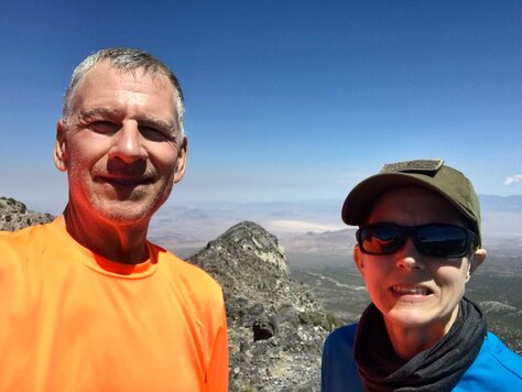
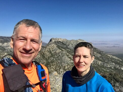
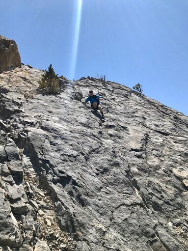
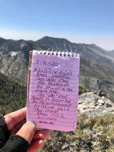
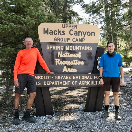
Allison McNickle (53er) and Bruce Small (Triple 53er) started their “Epic” Hike in the Charleston Wilderness Area on Aug 27th and finished on Sept 1, 2020. The stats: 50+ miles, 26,000 feet of elevation climbed and 21 peaks tagged...4 nights, 5 days Two plus years of talking, several months of planning, and over 60 liters of water cached on the route to ensure they had a successful hike. Day 1: After being dropped off, Bruce and Alison started their Epic hike at Bonanza trailhead. Their first of 21 peaks was Bonanza Peak (10,400 feet). They continued on the Bonanza Trail losing almost 1,800 feet of elevation and then regaining most of it to the McFarland turnoff. They hiked up to McFarland Peak (10,742 feet) and then over to Baby McFarland (10,436 feet), sub-peak on the mountain. From there they descended to the Bonanza Trail hiking about 6 miles to the Old Bristlecone Trail. Just before the junction of Old Bristlecone and Upper Bristlecone they turned off to the west and gained the northern ridge line below Lee Peak and camped in the forest that night. Three peaks this day. Day 2: Up bright and early Allison and Bruce ascended nearly 1700 ft in less than ¾ of a mile to summit Lee Peak (11,312 feet). From there they hiked over to the recently named Rocketship Peak (11,140 feet). Their next peak was Charleston Peak, the highest peak in southern NV. They descended to the North Loop Trail and followed it roughly two miles to Charleston Peak (11,918 feet). Next up was Griffith Peak. They followed the South Loop Trail to Griffith Peak (11,056 feet). Allison and Bruce descended Griffith Peak via South Loop Trail and hiked over to and up Trail Canyon a 1/2 mile to their camp for the night. Four peaks this day. Day 3: Another early start had Allison and Bruce hiking up Trail Canyon to the junction with North Loop Trail. They scrambled over to Cockscomb Peak (9,650 feet) and back to the junction. They hiked North Loop Trail to Raintree, a 3,000 year old Bristlecone Pine. From Raintree they hiked out to Fletcher Peak (10,319 feet). After a short break at that summit, they retraced their steps to Raintree and hiked the Mummy Springs route to Mummy's Toe (10,319 feet). They camped at the base of Mummy's Toe. Three peaks this day. Day 4: As the sun rose Allison and Bruce traversed the legs/shin of Mummy Mt. over to the east route to summit Mummy Mt (11,529 feet), the second highest peak in southern Nevada. On the way, they went up to a peak that they thought was MJ, but later found out it wasn't...so they counted this unnamed peak since it was 11,300 feet. Leaving Mummy Mtn. they did the route to Chin (11,040 feet), Forehead (11,043 feet) and Nose (10,748 feet), a popular hardcore route often done by members of the 52 Peak Club. They descended Mummy’s Nose via the typical route out to SR 156 and hiked it up to the Sister's exit route. From there they hiked in about a 1/2 mile to their camp in the forest. Five peaks this day. Day 5: After a quick breakfast, Allison and Bruce headed up the scenic, tree lined ridge on the east side of the Sisters exit route until they gained the main Sister's ridge and went east to Black Sister (9,650 feet). Then they did the Sister's route in reverse, climbing North Sister (10,175) and then South Sister (10,040 feet). They descended South Sister to the Sister's ridge line following it west to the big, light-colored, gravel, high spot and turned north to follow a ridge that runs between the Sisters and Mack’s Peak. As they crossed this ridge line they discovered another Peak...Rick's Peak (9295 feet)...newly named after Kevin Humes's father who passed away a week earlier. They then connected with the route up to Mack’s Peak, just below the first climb up, and went up to Mack’s Peak (10,033 feet). After this summit they traversed the top of the mountain (not the knife edge...they did that a couple weeks earlier) over to Mack's North Peak (9,820 feet). The start of the descent route from Mack's North Peak was via a ledge that runs down the south side of the peak. The final descent was down the forested ridge that runs on the east side of the normal descent route. This took them back into Mack’s canyon where they ended the "Epic" Hike at the Upper Mack’s Group Campground. Six peaks this day. After the completion of the hike their comment was, “If it wasn’t for Hiking Las Vegas and the 52 Peak Club they may have never known how to link all these peaks together in one “Epic” Hike.”
Branch: In my 25 years of hiking in southern Nevada I have never heard of any hiker attempting a hike like this. Congrats! |
AuthorBranch Whitney is the author of Hiking Las Vegas and creator of the 52 Peak Club where members hike to the best 52 Peaks around Las Vegas, NV Archives
October 2023
Categories |

 RSS Feed