The background of this area should be an image. Please use Change Background feature to change the background of this area.
(Can be found under DESIGN tab)
Hiking Las Vegas Blog
|
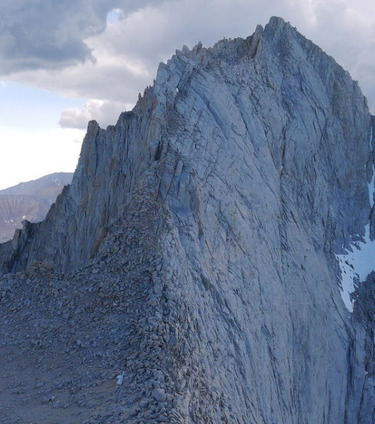
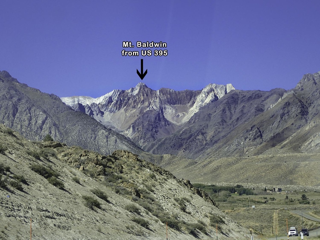
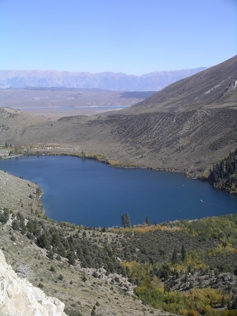
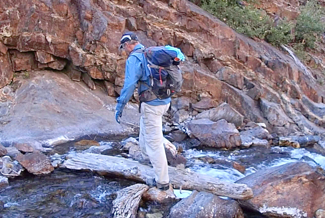
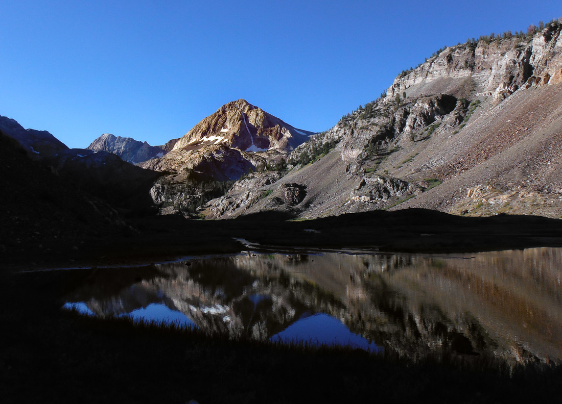
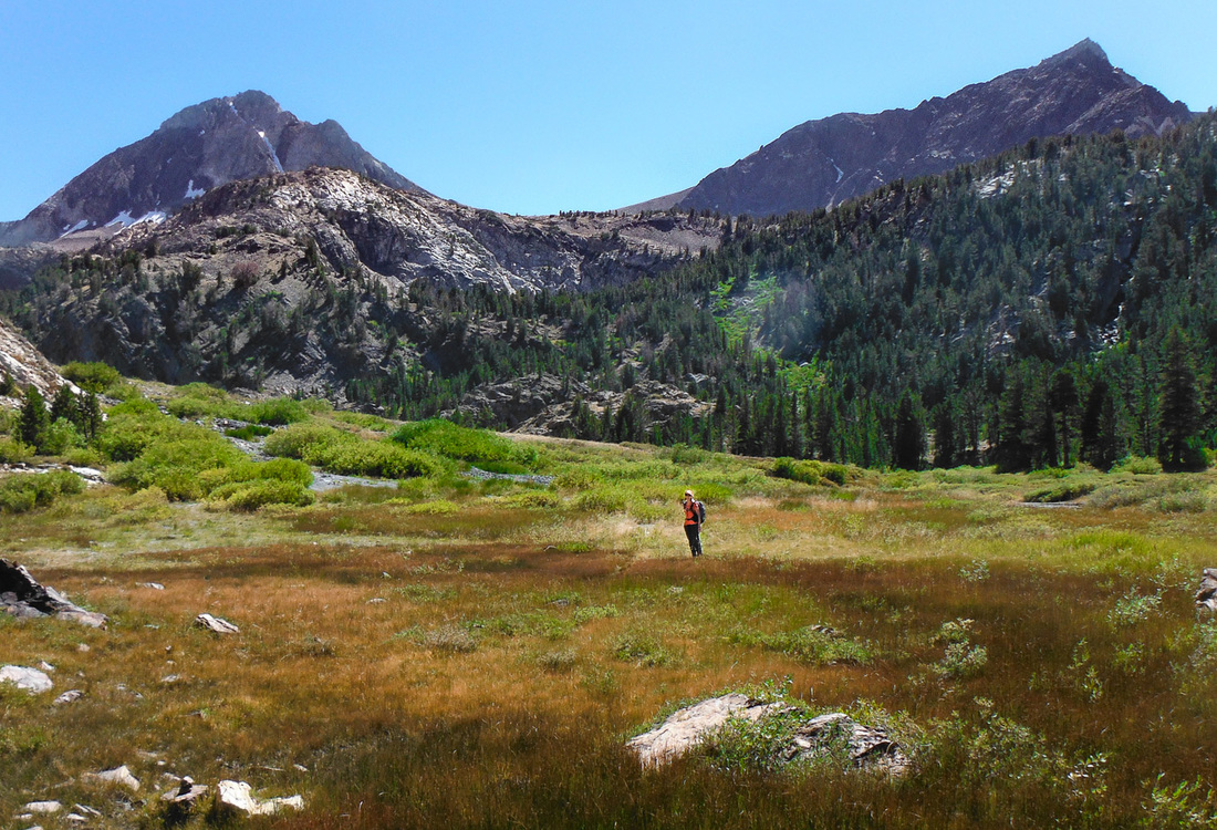
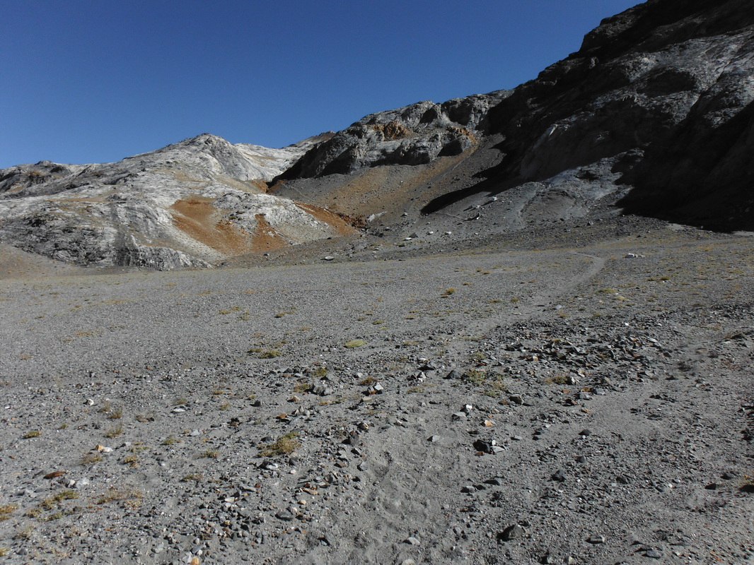
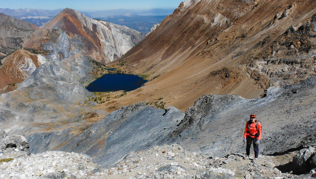
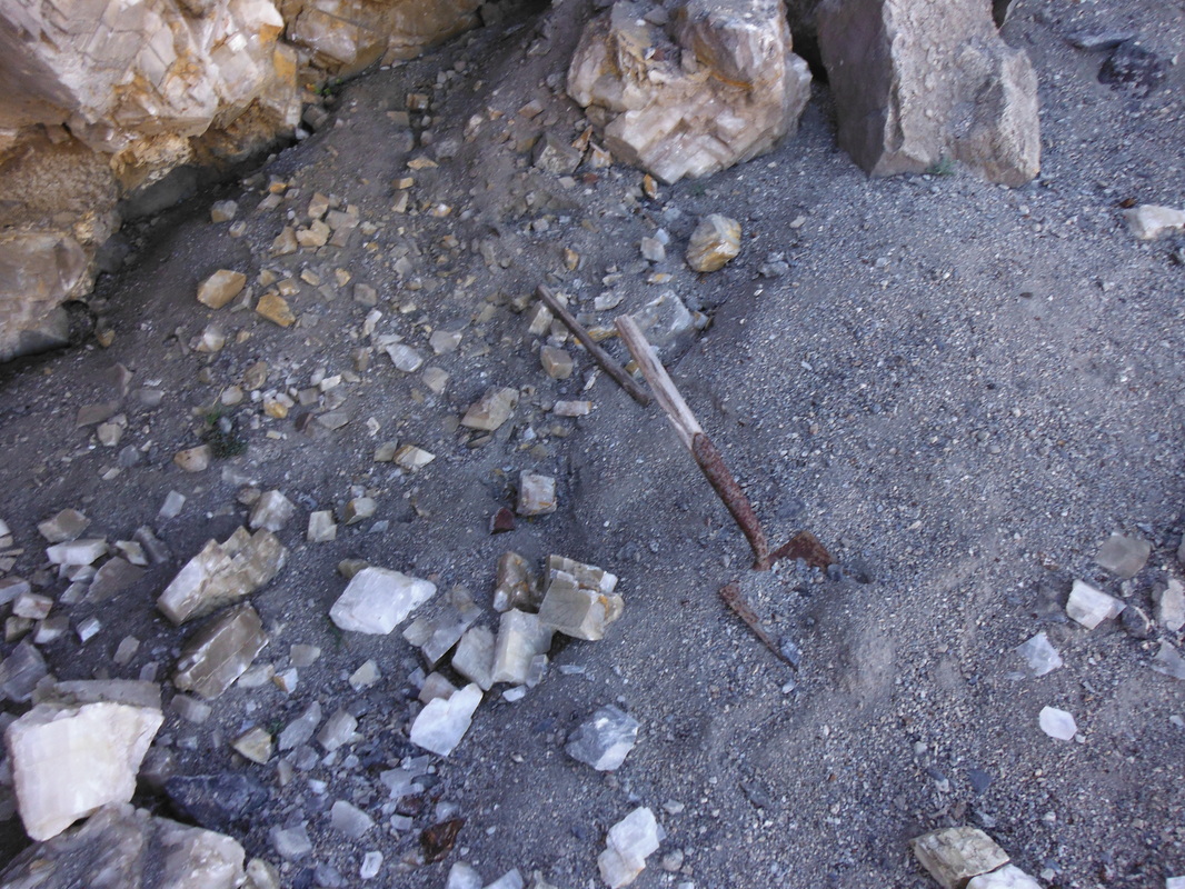
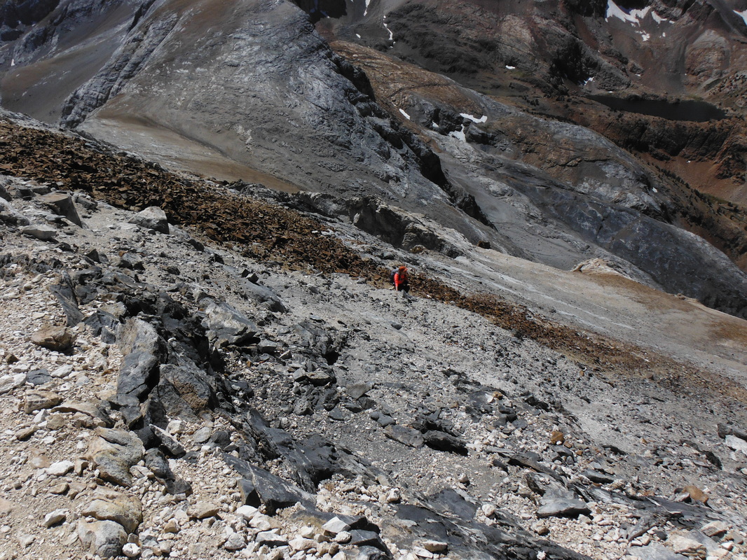
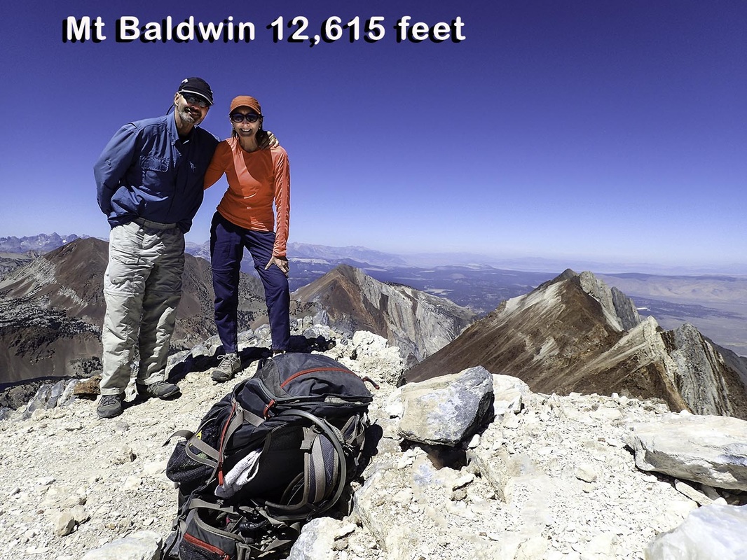
This past September members of the Las Vegas 52 Peak Hiking Club climbed Mt. Russell (14,086 feet) in the Sierra. It stands just north of Mt. Whitney, the highest peak in the lower 48 states. We took the Rockwell variation, which is recommended. I created a video of our hike. Watch it below. Mt. Baldwin soars 12,615 feet into the air and looks down some 8,000 feet onto US 95. This past September (2016), Kathy and I did a dayhike to the summit. The hike is 15 miles, round trip, and about 5,200 feet of elevation gain. The hike begins at Convict Lake, a very popular spot. The lake got its name from a group of escape convicts that broke out of a Carson City prison and were capture near the lake in 1871. Side Note: Mt. Morrison, a peak just south of Convict Lake, got its name when Robert Morrison was killed by one of the convicts. There's a movie loosely based on the incident called: The Secret of Convict Lake. And We Are OffWe got started around 6 am. Our headlamps illuminated our way through the darkness. We followed the Convict Lake trail about three miles to a washed out bridge. This marked where we crossed the creek. Crossing Convict Creek can be tricky depending on the amount of water flowing. When we crossed, the water was fairly low making for an easy crossing. Early in the year the water flow is greater making it dangerous to cross. On to Mildred LakeThe trail on the other side of the creek was surprisingly good and easy to follow. I had read reports that the trail needed repair. We arrived at Mildred Lake a little before 9.00 am. It was cold as the high ridges blocked the sun. Mildred Lake is one of the most scenic lakes I have seen. For the next mile the trail is flat and the views are outstanding. And Now the Work BeginsOnce the creek that feeds Mildred lake turns west, we headed SE up a hiker's path and started gaining elevation. We soon came to an area that looked more like Death Valley than the Sierra. I have never seen an area like this in the Sierra. Where Are We?The path disappears for a bit and Mt. Baldwin is not obvious as there are several peaks above us. We eventually see Bright Dot Lake and we knew we were back on route. The MineA major landmark on this route is a calcite mine that sits at 12,000 feet. The path to the mine is steep and loose. It's a small mine that one could miss, except for numerous crystals on the ground. The mine was active on a limited basis back in the 30's, but it was never fully developed. Now the Hard Part.From the mine to the summit is about 600 feet of very loose scree. I headed off to the south (right) and found it to be slightly better footing, but still loose. A little before noon we were standing at the summit of Mt. Baldwin. The DescentThere's a hiker's path that makes for an easy descent via the scree slope. We were back to the mine in about 20 minutes. It took us over an hour from the mine to the summit! The rest of the descent was easy, though long. We arrived at the trailhead around 5 pm. My VerdictThis is a very scenic route with great views from the summit. There's virtually no scrambling or climbing on this route. I recommend doing this hike, but one time will probably be enough for most hikers. Check out the video of the hike: |
AuthorBranch Whitney is the author of Hiking Las Vegas and creator of the 52 Peak Club where members hike to the best 52 Peaks around Las Vegas, NV Archives
October 2023
Categories |

 RSS Feed