The background of this area should be an image. Please use Change Background feature to change the background of this area.
(Can be found under DESIGN tab)
Hiking Las Vegas Blog
|
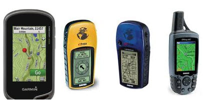
All hikers, especially those who love to travel deep into the woods, face the possibility of getting lost. So, what effective solutions can you employ? You can use a GPS that can provide you the information regarding your location while hiking, which would help you feel safe. There are other tools you can use, such as a rangefinder. Some important factors in choosing a GPS include the unit’s display quality so you can read the GPS under bright light or dark skies. If you like to store waypoints in your GPS, you might want to buy a GPS with a larger memory capacity. Furthermore, you can choose a GPS which is lightweight and waterproof if you know that you are more adventurous and would likely encounter bad weather. After choosing a GPS, here are some ways how you can keep yourself safe when hiking! Using the Distress Signals A GPS usually does not send any information because it is just a radio signal receiver with a logic chip that translates timing signals into Lat-Lon positions. Therefore, unless you buy a GPS that can attach to a cell phone or other transmission devices such as the ACR ResQ Personal Locator Beacons, you would not be able to send out distress signals. There are two kinds of transmitters which you can buy, the personal locator beacons and satellite messengers. Personal locator beacons give out distress signals by utilizing the Distress Alerting Satellite System (DASS). This method can only be used in emergency situations. Usually, we would use the satellite messengers when we are met with dangers. For example, there might be situations where we our hurt and we know that we need help. Satellite messengers can be purchased and used with your GPS to ensure help can be notified if needed. Always Plan Your Hike This is important because scouting would give you the information you need which is useful in emergency situations. By scouting properly with a quality pair of binoculars is also a great idea, a compact & lightweight pair is recommended. you would be able to understand the terrain you will encounter. Use internet resources such as Google Maps to look at topography or aerial views. This would give you a good idea about the landscape you will hike, and you can plan your hike more effectively. You can mark down locations which interests you using waypoints. These waypoints can be transferred to your GPS. When you hike, those waypoints can be used as your reference and the chances of you getting loss would be significantly reduced. Utilizing Different Navigation Methods You can explore different navigation methods that are available in your GPS and choose the one that is most comfortable to you. This is important because effectively using your GPS can keep you on your route and lower the probability of getting loss. Different navigational methods include navigating by touching 3D locations on your screen or you can follow Point of Interests which you have previously set. If you are not familiar with which navigational method is best for you, experiment! If you get lost, it would be much easier to get back to your route if you use your GPS correctly. Have a Contingency Plan When Traveling A GPS can help you to make important decisions concerning which back-up plan you should use. Psychologically, a GPS can help keep you calm whenever you feel lost, which would aid you in making clear-headed decisions on how to get back on route. Also, a GPS assists you by informing you of your position, the orientation you are heading and by providing feedback on whether you are travelling to your intended destination. All of this information is imperative because missing any of them could mean that you are travelling the wrong way. Your coordinates, which is the latitude and longitude, can help you communicate where you are to your friends as well! You might want to seek help from them if they are familiar with your location. Conclusion Learning how to use a GPS can go a long way in keeping yourself safe. Remember that your GPS is only useful if it works. It must be able to get satellite reception and you need to have backup batteries. You should also consider data sharing and how convenient is it to share data with the GPS unit you are using.
With these tips you can reduce your chance of getting lost, and if you do get lost, you can make informed decisions. This will make sure that you are not the next hiker who gets lost and calls Search and Rescue. If you have any other tips on how to use your GPS, feel free to share below! Author Bio: I am John Lewis, a blogger, survivalist and outdoor enthusiast. You can follow me at Epic Wilderness. History (skip if not interested)Mack's North Peak (9,820 feet) or Mack's Peak North is on the north end of the ridge that runs north to south. On the southern end of the ridge stands the much more popular Mack's Peak (10,033 feet). Both of these peaks are in the Mt. Charleston area, which is 35 west of Las Vegas, NV.
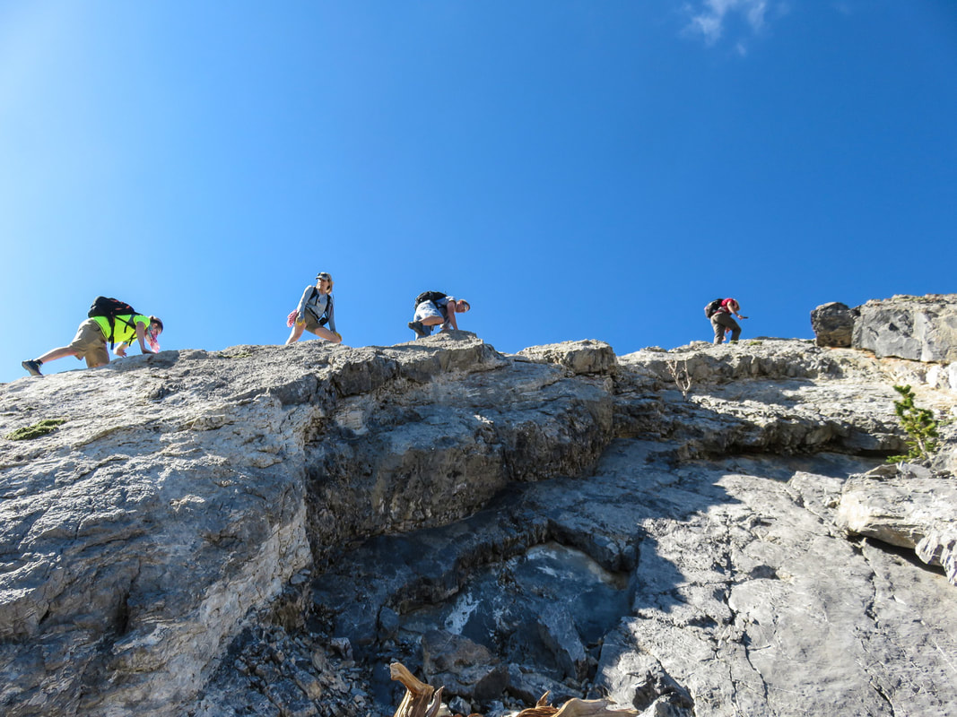
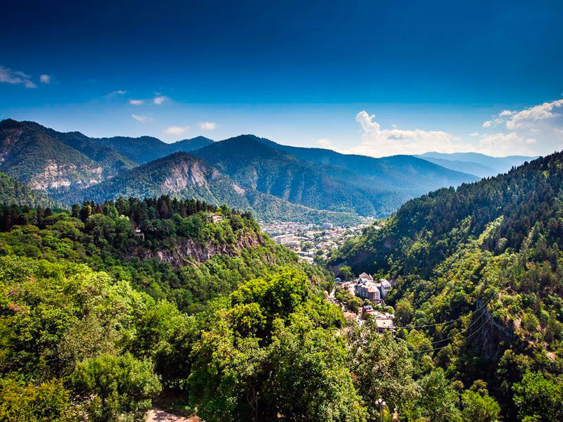
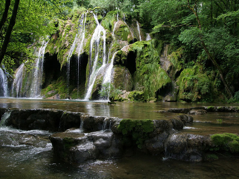
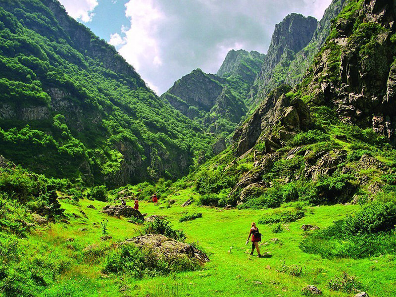
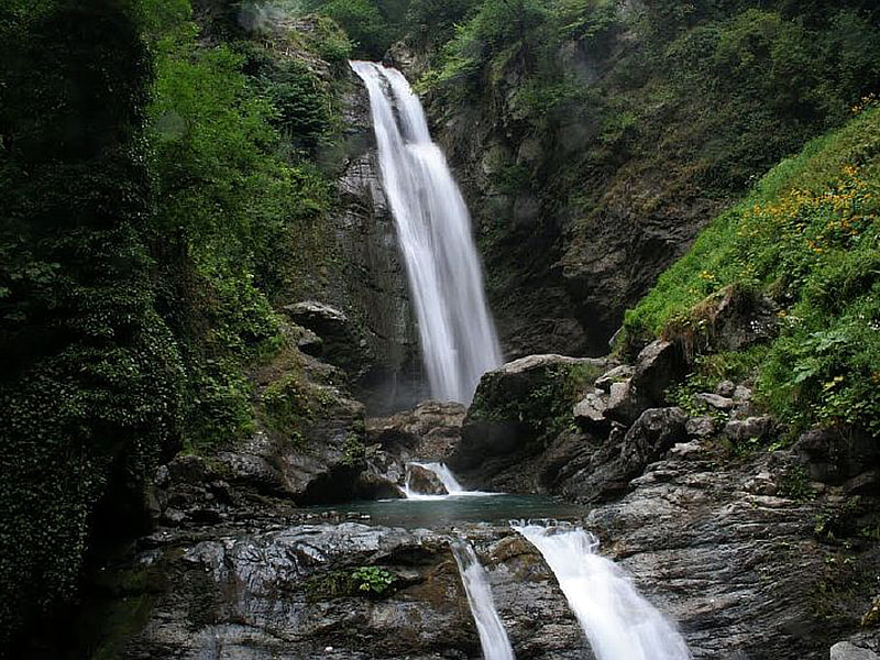
Mack's North Peak was probably first done in 2003. When I did it I found no evidence of anyone being there before: no cairns, no paths, and no sign in book. The original route started from the north via Cold Creek Road. It was a long and bumpy ride on Forest Service road 571, a gravel road which needs a 4WD vehicle to reach the trailhead which is unmarked. The route started off easy following the road and quickly turned into a trail. Once the trail reaches a highpoint you head south along a ridge. There's nothing to exciting until you get to the wall. This is serious Class 4 climb. There are ways to avoid the Class 4 parts of the wall. Georgia is a beautiful country with clean lakes and high mountains, warm sea and endless alpine meadows, rich forests and stormy rivers. Georgia is a country of great opportunities for travelers. You can spend an unforgettable time in a chic five-star hotel with a view of the sea, or enjoy the sunset by the fire in the forest. No matter what your choice will be, we are ready to help you. At this time we will take a virtual tour about the most beautiful and popular national parks in search of interesting trekking routes. Why is it advised to choose national parks for trekking? Of course, there are hundreds of other popular trekking routes around the country, however, if you have limited time and you want to see the beauty of the country, the national park is a perfect option. For more saturated hiking tours in Georgia just contact local tour operators. Borjomi - Kharagauli National Park Location: Borjomi Area: 85.000 hectares Borjomi health resort is a true paradise of Georgia. It became popular due to its healing mineral waters, clean air, and forests. Today we'd like to tell you about trekking in Borjomi- Kharagauli National Park. It will take more than 10 days to visit all the beautiful corners of the park. The part of the reserve is closed to visitors, but there are nine perfect trekking routes. On the way, there are parking lots with water and places for a fire, where you can organize camping. One of the trekking routes takes up to the Mount Lomi, which offers the best view of the park and the Caucasian Range. The national park of Borjomi-Kharagauli is a vast subtropical forest. In such a beautiful park with the pure air and virgin nature, you can spend the night in a tent, and meet the dawn with the singing of birds. Mtirala National Park Location: Adjara, Chakvi Area: 6.000 hectares Mtirala National Park is located in the Black Sea resort of Adjara, 30 km away from Batumi. Most of the territory is a subtropical forest. Due to the high humidity and mild climate, the flora of the national park is one of the most diverse in Georgia. Once in a park, you will feel in a fairy tale with virgin nature. In the deep forests of the park, you can find small lakes that look like from popular pictures of rainforests. The waterfall of the park is even more exciting. Looks cool to swim. There are two routes for trekking in the park. One path leads to the lake and the waterfall along the Kolkhide forest. The second one is longer and more complicated, it passes through the wild forests. Kazbegi National Park Location: Mtskheta-Mtianeti Area: 8.707 hectares Kazbegi Reserve is considered one of the most visited parks in Georgia. It is located on the bank of the Terek River, on the northern slope of the Caucasian ridge. On a large territory of the park, there are forests with more than 150 species of trees and plants, a great variety of fauna, historical monuments, and, of course, the ultimate, indescribable view of the Kazbegi mountain. The most of the park is covered with alpine meadows, mountain ranges and impenetrable rocks. The best season for trekking in the park is in summer. In the mountains, it is never hot for day trips. Winters here are severe. Lagodekhi National Park Location: Kakheti Area: 17.818 hectares Lagodekhi National Park and Reserve is located in the gorge of Lagodekhi, in the north-east of the country, at the foot of the Central Caucasian ridge. The reserve was one of the first in the country. The park is more than 17000 hectares of wild nature including alpine meadows, forests, ponds, several lakes, springs and about thirty waterfalls. There are five routes of trekking along the most picturesque corners of the park. The passage of the longest route takes three days. This trail is suitable for both trekking and horse riding. In the park, you can rent tents for camping or stay at the hostel. Tusheti National Park
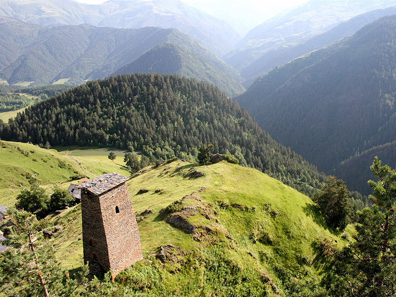
Location: Kakheti Area: 83.000 ha Tusheti National Park is located in the historical region of Tushetia in the north-east of the country. On the territory of the park, there is a nature reserve, a landscape reserve, settlements and historical monuments. The weather in Tusheti is quite severe, and the best season for trekking is summer. Despite the climate, the reserve is characterized by a variety of flora and fauna. There are few water resources on the territory, however the spectacular view of the mountains covered with forests is incomparable. There are 11 routes of different length and complexity in the park. The routes pass along the architectural monuments and villages, where you can stop for an overnight. Why should you choose Tusheti National Park for trekking? First of all, it is about the picturesque mountains and nature. Plus, you will get acquainted with the locals and traditions, and at last, you will find out the secret of the longevity of the mountaineers. And lastly, we’d like to note that apart from Georgia hiking in Armenia (the neighboring Caucasian country) will also be an excellent choice. Therefore, we advise you to combine visits to these two countries and have Armenia and Georgia hiking tour. |
AuthorBranch Whitney is the author of Hiking Las Vegas and creator of the 52 Peak Club where members hike to the best 52 Peaks around Las Vegas, NV Archives
October 2023
Categories |

 RSS Feed